PREVIMER: Improvement of surge, sea level and currents modelling
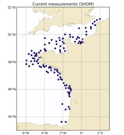
The pre-operational system PREVIMER provides coastal observations and forecasts along French coasts. It provides, among other variables, currents, sea levels, surges and waves. This paper describes the development and validation of a high temporal (15 minutes) and spatial (250 m) resolution modeling system, based on MARS hydrodynamic model (Lazure and Dumas 2008), along the Atlantic and English Channel coasts. Models benefit from experiments developed during the PREVIMER project by: (1) taking better into account wind and wave actions (improving surface drag coefficient parameterization), (2) taking into account a better meteorological forcing (improving spatial and temporal meteorological resolution). These high resolution models have been integrated in PREVIMER modeling system since 2013.
L. Pineau-Guillou, F. Dumas, S. Theetten, F. Ardhuin, F. lecornu, J.-F. Le Roux, D. Idier, H. Muller, R. Pedreros
- Mercator Ocean
Date de sortie 29/04/2014

