
Rechercher
Reconstructions du niveau moyen global de la mer à partir de marégraphes
La longueur et la qualité des mesures du niveau de la mer produites par des marégraphes tels que ceux de Brest et de Marseille permettent d’envisager une reconstitution du niveau moyen global de…
Les activités de reconstruction marégraphique en France
Dans le contexte actuel de changement climatique, l’apport de séries temporelles du niveau de la mer, pluridécennales à séculaires, se révèle primordial pour mieux appréhender les risques côtiers…
Des émissions de gaz à effet de serre à l’élévation du niveau de la mer : contraindre la dynamique du bilan d’énergie planétaire par la géodésie spatiale
Les émissions anthropiques de gaz à effet de serre conduisent à l’apparition d’une différence en haut de l’atmosphère entre le flux radiatif solaire reçu par la Terre et le flux radiatif…
L’élévation du niveau de la mer et les risques côtiers
L’élévation du niveau de la mer est un processus qui s’est enclenché avec le réchauffement climatique d’origine humaine. Si ce phénomène ne peut plus être raisonnablement arrêté, sa vitesse…
Apport de la gravimétrie absolue à l’estimation du niveau des mers
La mesure et l’étude de la variation du niveau de la mer en zone côtière sont un enjeu scientifique et sociétal majeur. Les mesures marégraphiques montrent des tendances de quelques millimètres…
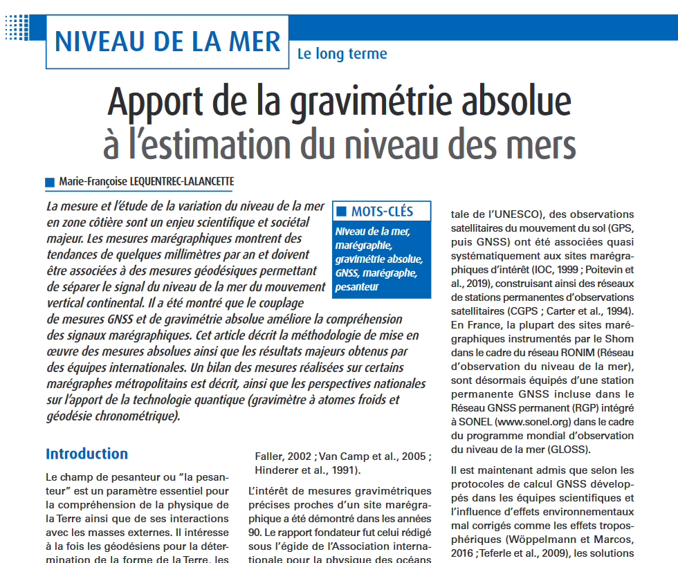
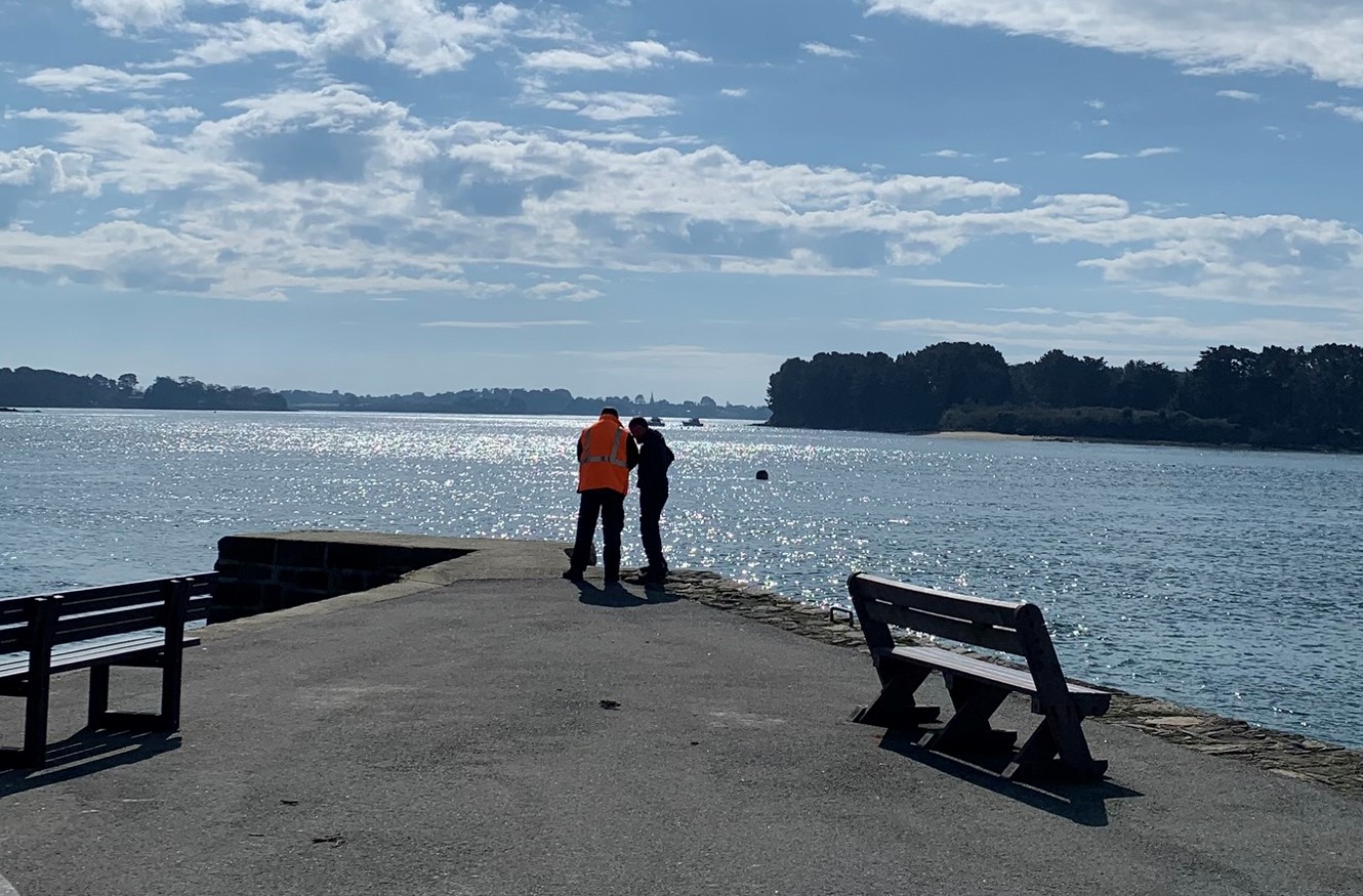
Le Shom soutient l'installation et le calage de 2 observatoires marégraphiques dans le golfe du Morbihan
Dans le cadre d'une collaboration avec l'intercommunalité Golfe du Morbihan - Vannes Agglomération, une équipe du Shom s'est rendue à Larmor-Baden et à Vannes. Leur but ? Préparer l'installation…
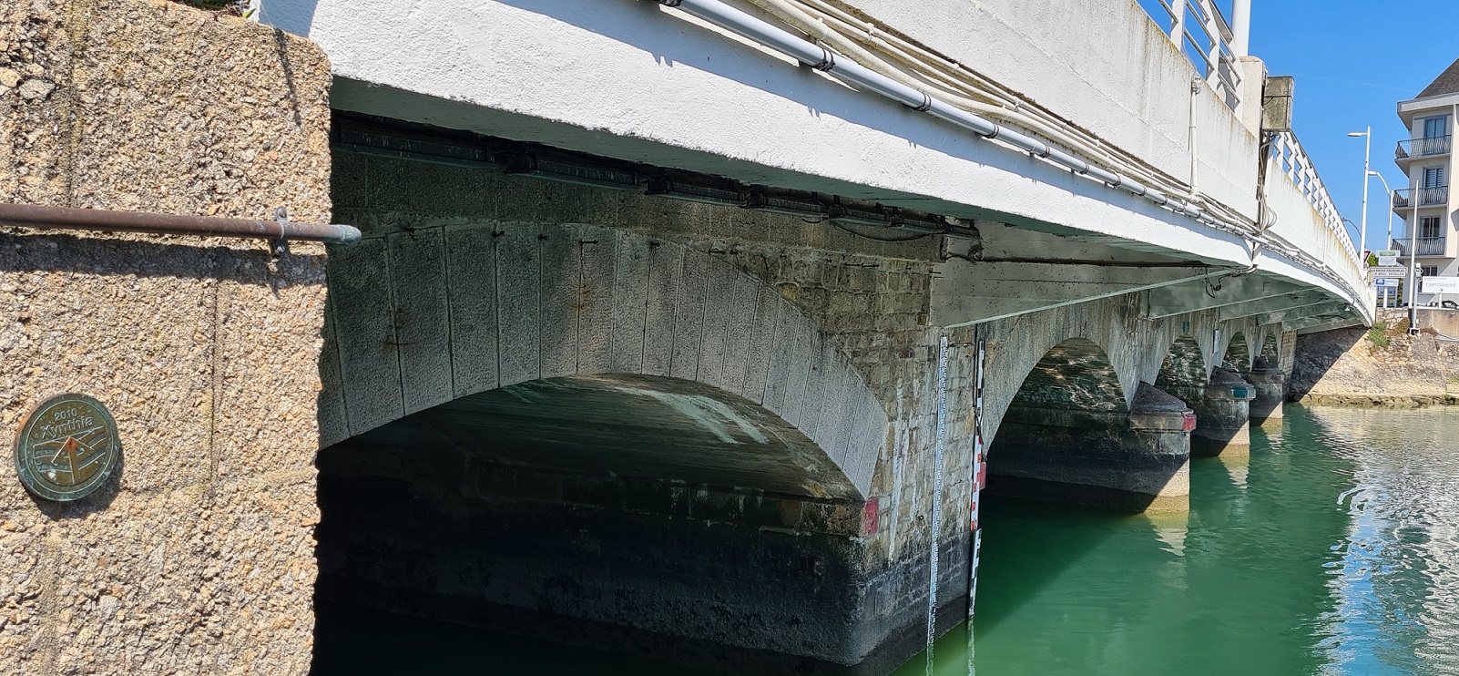
Marégraphe de SENETOSA
L’observatoire est implanté en Corse du Sud, à Senetosa, sur un site choisi pour sa pertinence pour la calibration altimétrique : position côtière favorable aux survols satellites, conditions…
Le marégraphe de Marseille, origine des altitudes continentales françaises et vigie du changement climatique
Le marégraphe de Marseille est à la fois le bâtiment et l'appareil d'observation du niveau de la mer qu'il abrite. Créé en 1885 pour déterminer le…
Evénement Éowyn du 2025-01-23 au 2025-01-26
La carte ci-dessous présente les hauteurs de surcotes de pleines mers maximales enregistrées. Les résultats sont issus de calculs automatiques non expertisés à partir de données d'…