
Rechercher
Billetterie
L’événement est gratuit, accessible sur inscription, et fera également l’objet d’une diffusion en direct. …
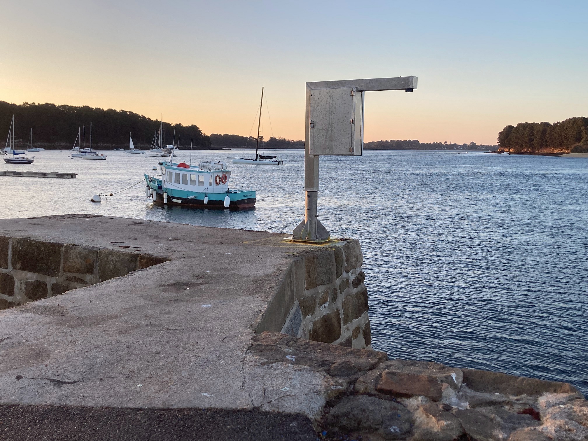
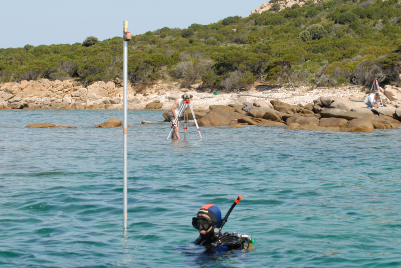
Laboratoire Géoazur, nouveau partenaire REFMAR
Géoazur rejoint REFMAR et ouvre l’accès aux données de l’observatoire marégraphique de Senetosa (Corse). Ces séries, collectées depuis 1998 et régulièrement contrôlées (marégraphes, GNSS, stations…
Journées REFMAR 2026
L’observation du niveau marin, pilier historique de la navigation, est aujourd’hui indispensable pour modéliser le changement climatique et protéger nos côtes via les jumeaux numériques des océans…
Journées REFMAR 2026 : Cap sur la 5ème édition !
La 5ème édition des Journées REFMAR se dévoile. Du 22 au 24 septembre 2026 aux Ateliers des Capucins, la communauté maritime se rassemble pour faire le point sur l'observation des côtes. Découvrez…
Evénement Nils du 2026-02-11 au 2026-02-13
La carte ci-dessous présente les hauteurs de surcotes de pleines mers maximales enregistrées. Les résultats sont issus de calculs automatiques non expertisés à partir de données d…